
Flood Susceptibility Map of Duhok City Using ArcGIS with Multi-Criteria Analysis: A seminar by Mr. Merkhas Mustafa
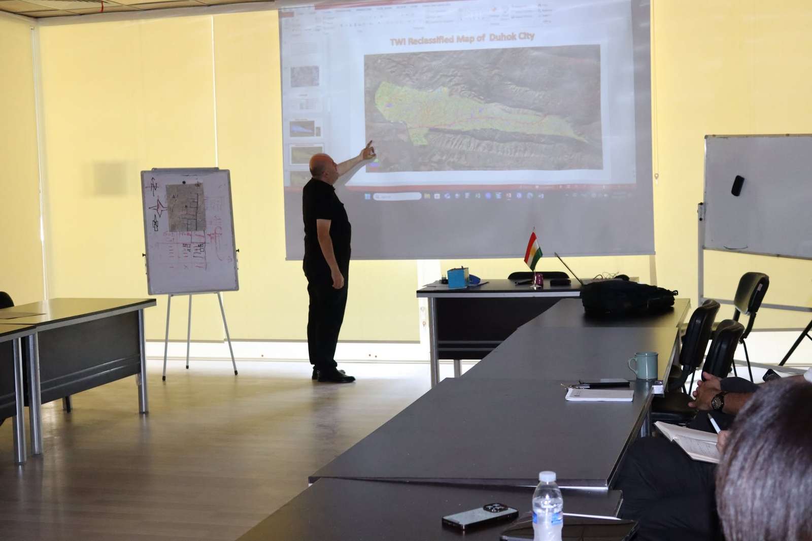
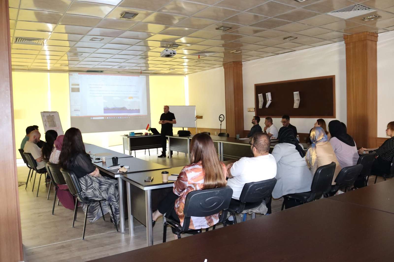
On October 7, 2025, the College of City and Regional Planning at the University of Duhok hosted an informative seminar titled “Flood Susceptibility Map of Duhok City Using ArcGIS with Multi-Criteria Analysis.” The session was delivered by Mr. Merkhas Mustafa from the Urban Planning Directorate in Duhok.
The presentation focused on leveraging spatial analysis technologies to identify flood-prone areas within Duhok City and enhance local urban resilience.
Key Themes Addressed:
- GIS-Based Flood Mapping: Demonstrating the application of ArcGIS tools to model spatial flood hazards and map high-risk zones across the city.
- Urban Hazard Mitigation: Providing actionable spatial data to assist municipal leaders and planners in infrastructure risk management.