International Workshops on Environmental Spatial Investigations and Fire Mapping
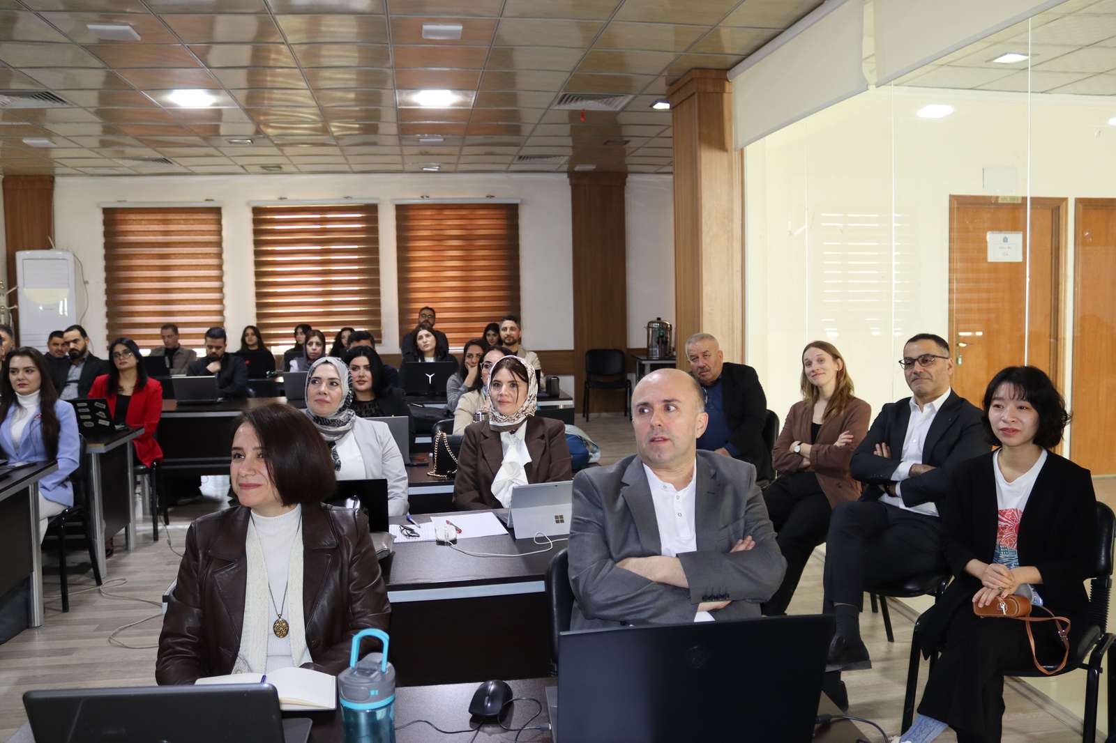
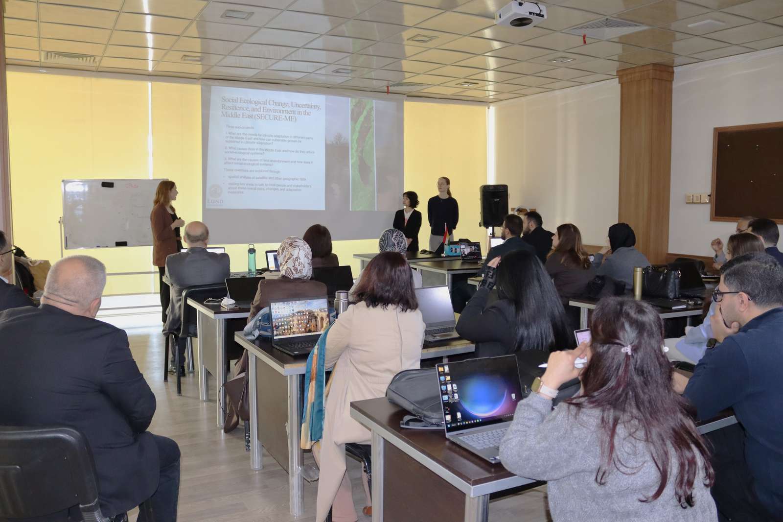
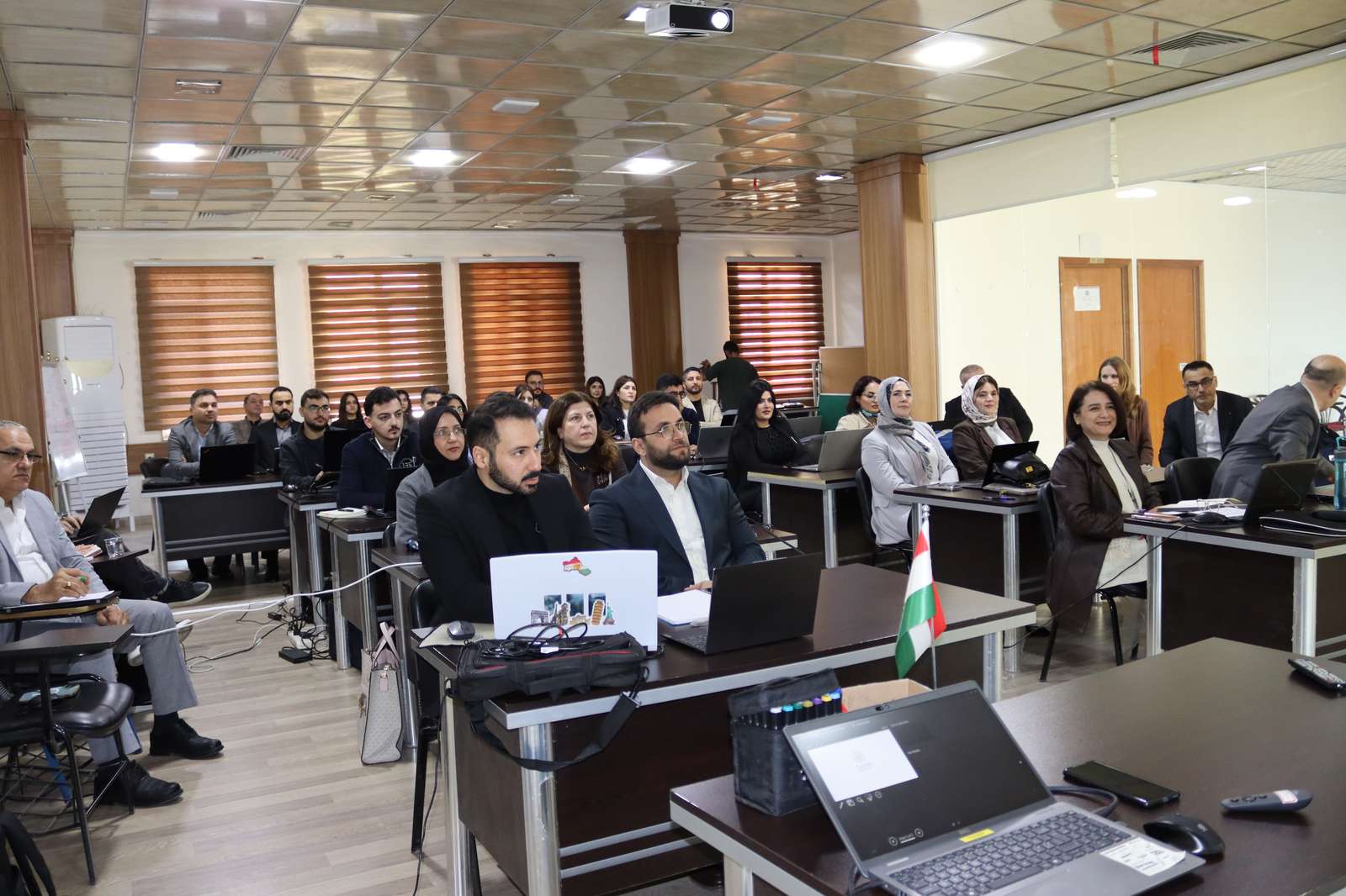
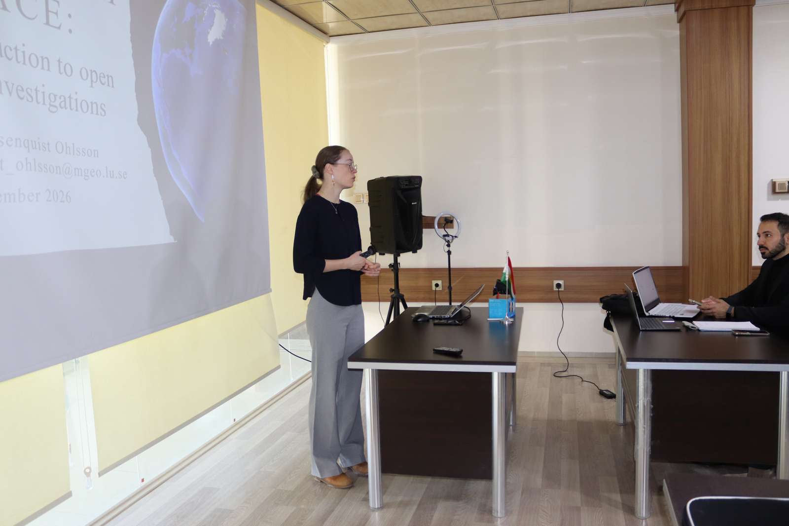
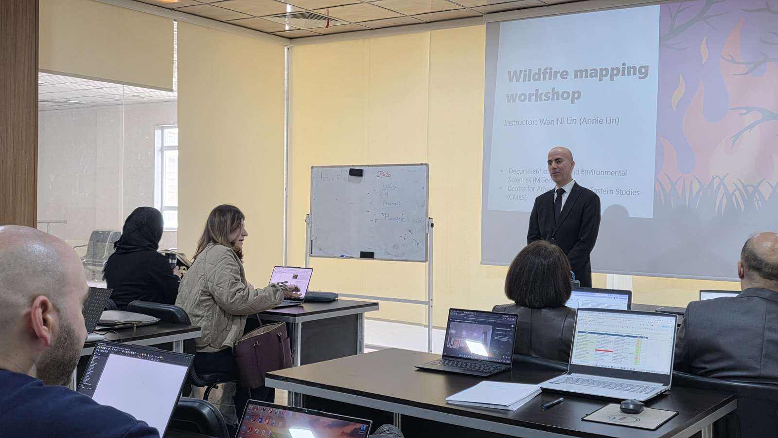
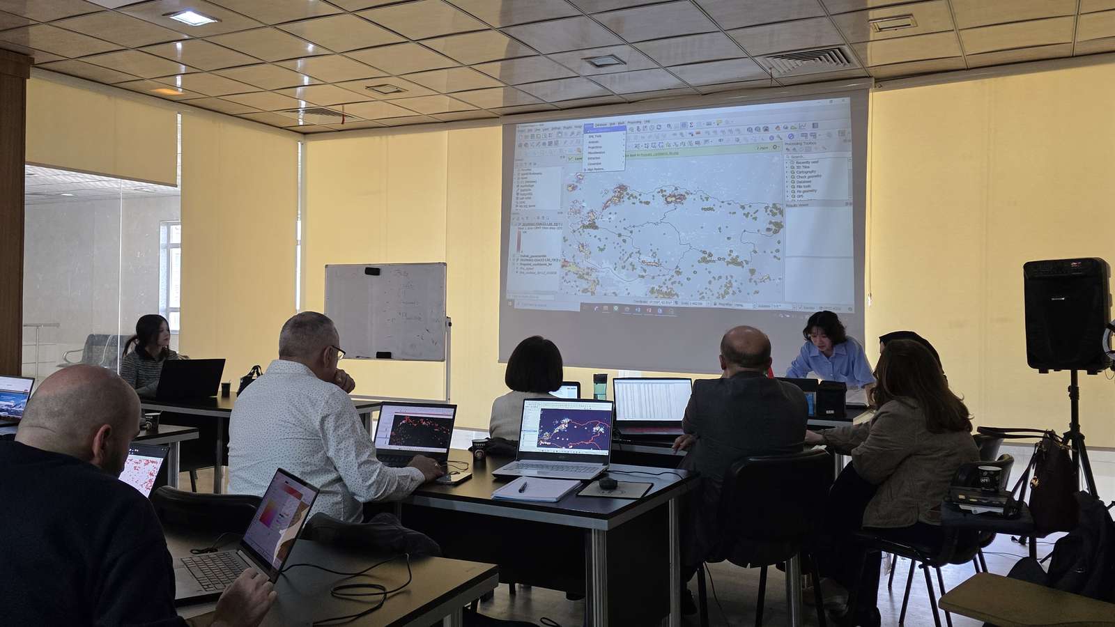
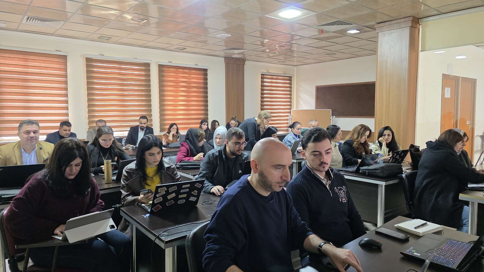
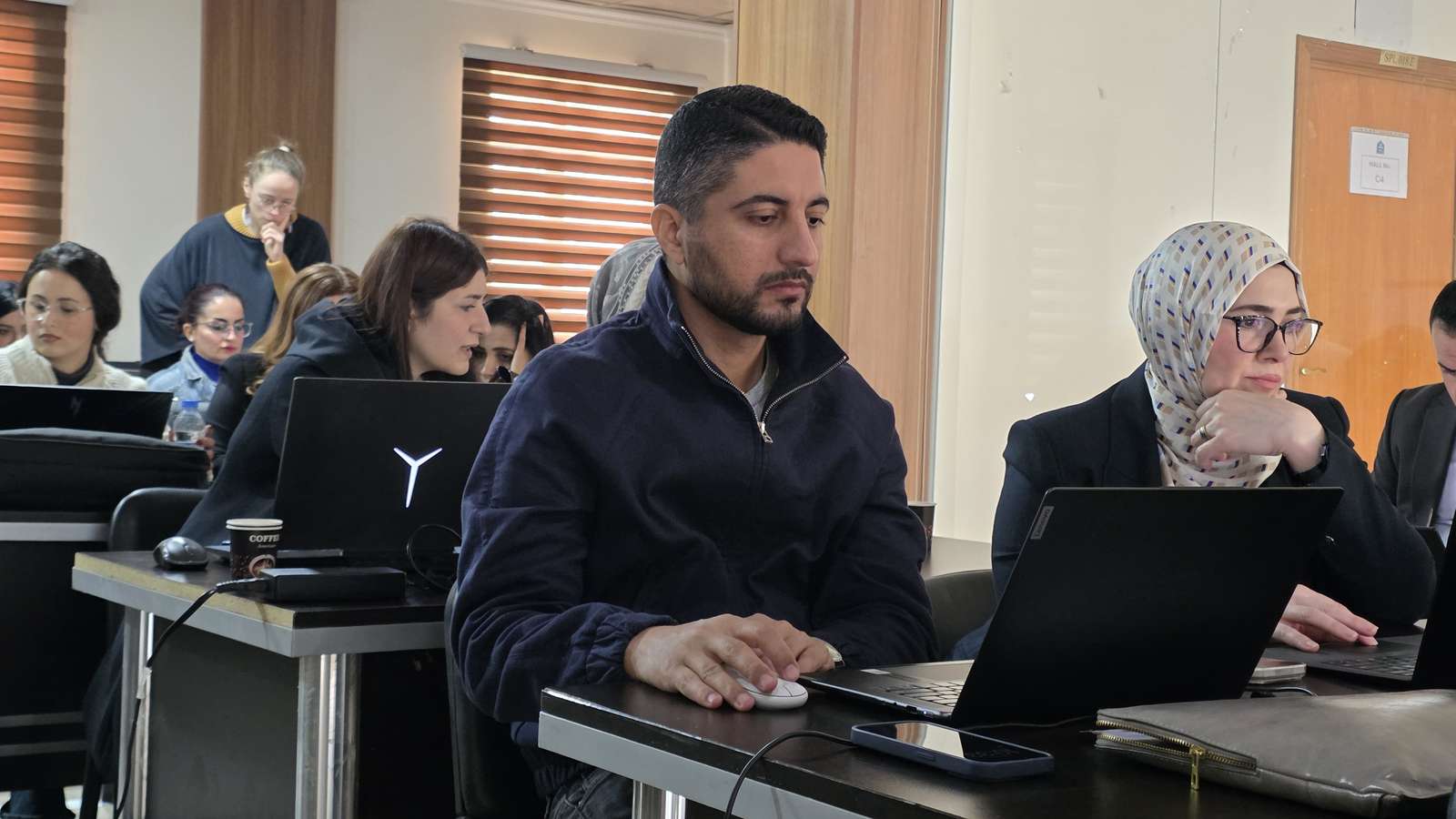
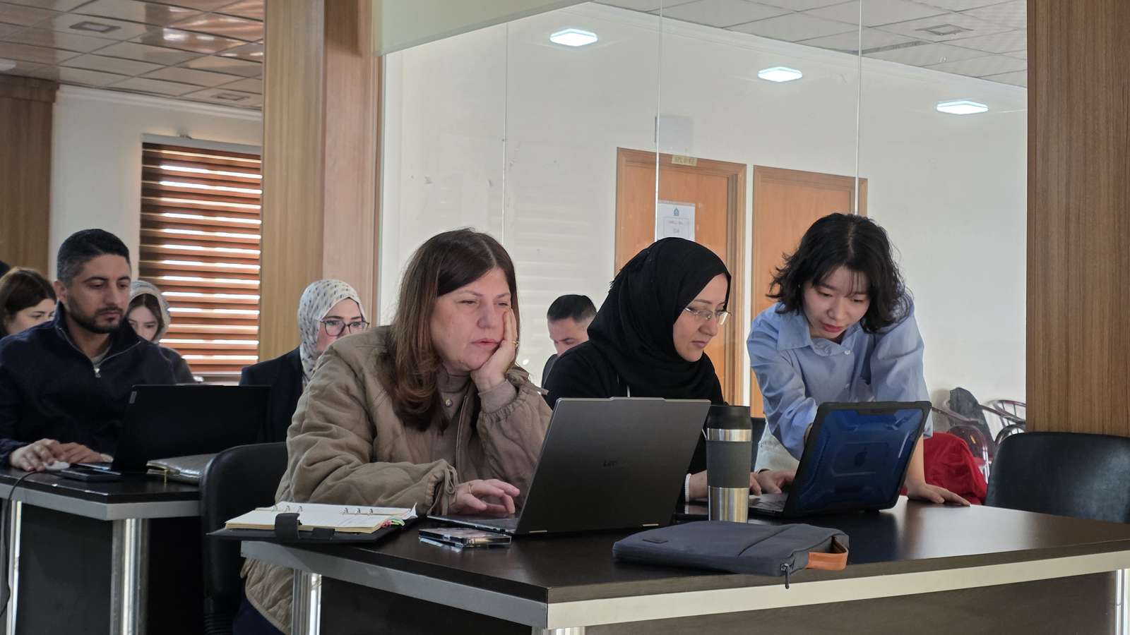
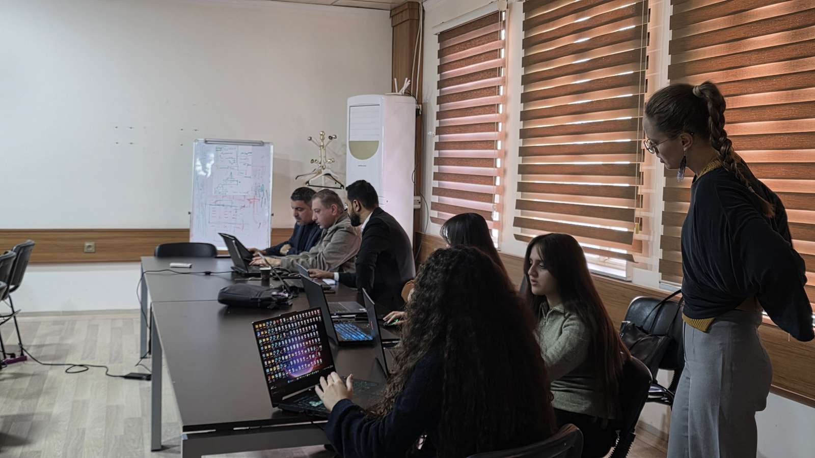
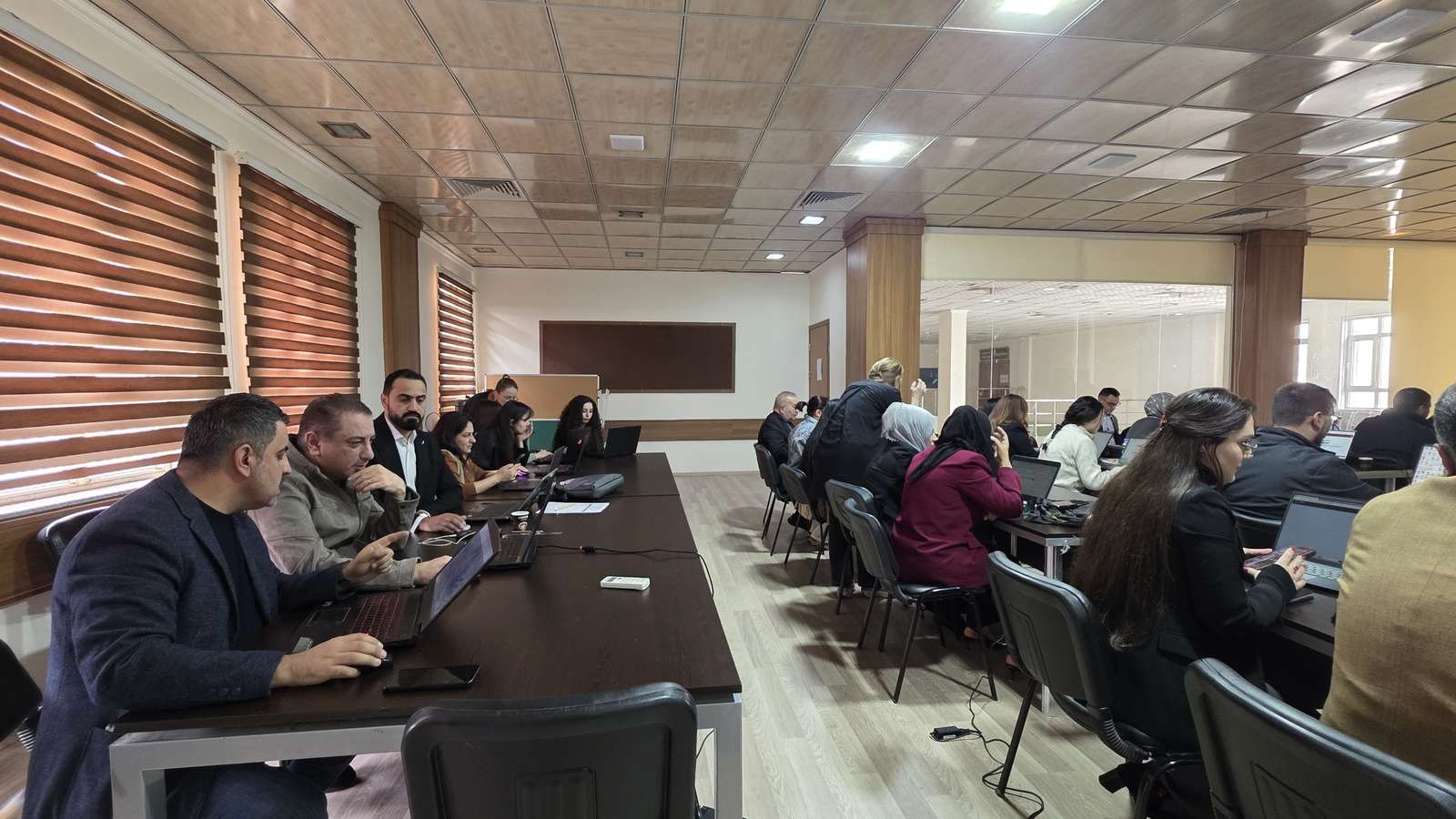
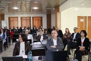
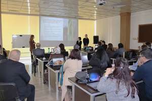
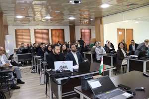
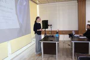
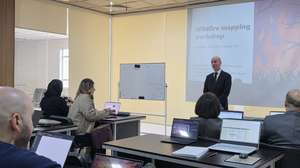
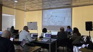
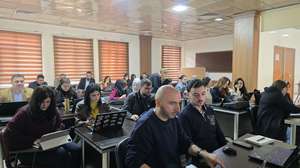
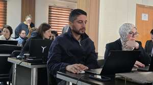
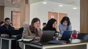
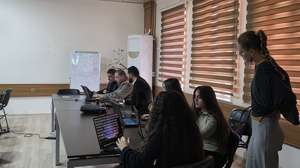
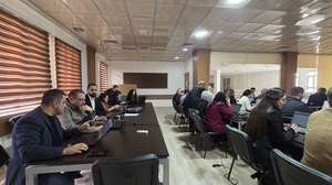
On November 10 and 11, 2026, the Department of Spatial Planning at the College of City and Regional Planning, University of Duhok, together with a team of Researchers and PhD Students from Lund University, Sweden, successfully hosted a two-day international training workshop focusing on geospatial technologies, environmental monitoring, and disaster response.
The workshop was coordinated by
- Dr. Basheer Ahmed Mohammed Saeed (Lecturer, Department of Spatial Planning, University of Duhok)
- Dr. Lina Eklund (Associate Senior Lecturer, Researcher, Lund University, Sweden)
- Wan Ni Lin (PhD Student, Lund University)
- Lovisa Rosenquist Ohlsson (PhD Student, Lund University)
Participants included staff and students from the College of City and Regional Planning, relevant academic staff from the Department of Forestry at the College of Agricultural Engineering Sciences, and the Directorate of Urban Planning in Duhok, Municipality of Duhok, Directorate of Environment in Duhok, and the Directorate of Forests and Rangelands in Duhok.
Day 1 (Tuesday, November 10, 2026 — 10:00 AM): Open-Source Intelligence (OSINT) for Environmental and Spatial Investigations
A hands-on introduction using publicly available satellite imagery and open-source data (via Google Earth) to investigate environmental destruction, crimes, pollution, and spatial issues, while supporting disaster response for events such as flooding, fires, and storms.
Day 2 (Wednesday, November 11, 2026 — 10:00 AM): Satellite-Based Wildfire Mapping and Environmental Monitoring
Presenters: Organizing Committee members.
Overview: A practical tutorial demonstrating three common global fire products—MODIS active fire, FireCCI, and Sentinel-2 imagery—to analyze fire history, assess future fire risk, and illustrate fire events in Duhok using QGIS software.
Notably, the Center of Urban & Regional Planning for Post Graduate Studies also actively joined the workshop online, expanding institutional collaboration and knowledge exchange. This is part of the memorandum of understanding signed by the two sides which aims to broaden academic collaboration and knowledge exchange (read more here)
Related Sustainable Development Goals (SDGs)
- SDG 13: Climate Action — Utilizing satellite-based monitoring, fire mapping, and open-source data to track environmental threats and support climate disaster response.
- SDG 15: Life on Land — Protecting terrestrial ecosystems by tracking vegetation wildfires, burned areas, and environmental degradation.
- SDG 17: Partnerships for the Goals — Fostering international academic collaboration between the University of Duhok, Lund University (Sweden), and the Center of Urban & Regional Planning for Post Graduate Studies.