Flood Susceptibility Map of Duhok City Using ArcGIS with Multi-Criteria Analysis - A seminar by Mr. Mirkhas Mustafa

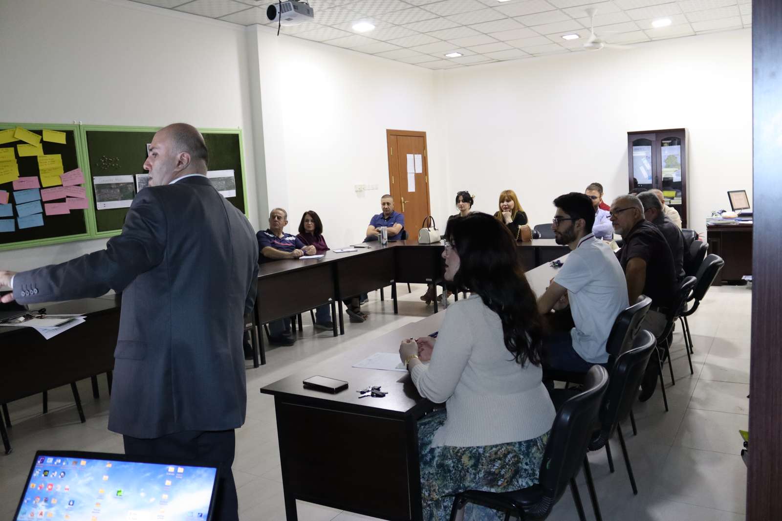
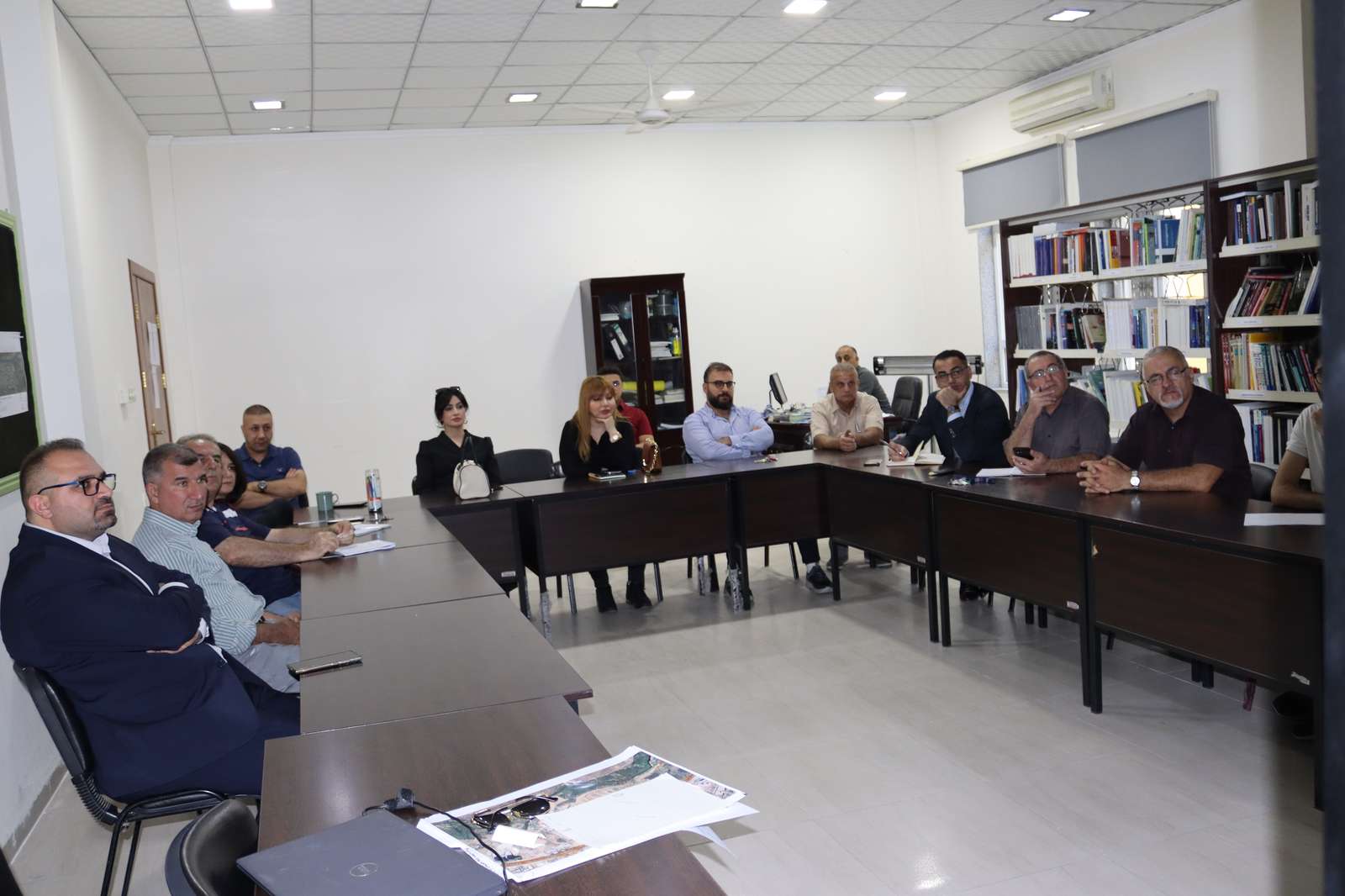


On Tuesday, October 15th, 2024, the College of City and Regional Planning hosted an interesting seminar, presented by Mr. Mirkhas Mustafa, coordinator of GIS System at Directorate of Urban Planning, Duhok, under the title Flood Susceptibility Map of Duhok City Using ArcGIS with Multi-Criteria Analysis.
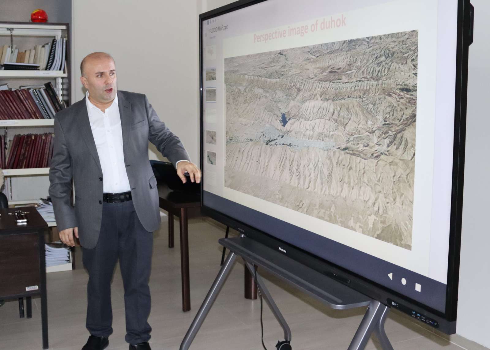
The seminar focused on explaining some criteria of detecting high-risk and low-risk flooding areas in Duhok city using ArcGIS. Some of those criteria included, wetness index, rational method (rainfall quantity), and slope of terrain.